Barnes-Drummond Wisconsin Case Profile
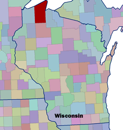 Setting: Barnes and Drummond are two small communities located in northern Wisconsin, 60 miles southeast of Duluth, Minnesota. Both communities are in the southwestern corner of Bayfield County, which is bordered by Lake Superior to the north. The total population for Bayfield County is 15,013 (2000 Census). Barnes has a population of approximately 610 people, while Drummond has about 541. Together these two communities represent almost 8% of the County’s population.
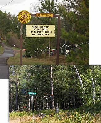
Land ownership: Bayfield County is 1,476 mi2 or 944,800 acres. The Barnes-Drummond Community Wildfire Protection Plan (CWPP) project covers 171,056 acres of Bayfield County. Approximately 70% of the CWPP land area is under public ownership and management. The largest forested land ownership in the Barnes-Drummond area is the Chequamegon National Forest, followed by county forest, privately-owned forest and industrial forest.
Vegetation Type The planning area has two distinct types of forest. The western half of the planning area, around Barnes, contains a significant amount of flammable jack and red pine barrens, as well as some deciduous species. The eastern half, around Drummond, is characterized by hardwood and mixed forest, containing deciduous trees like oak, maple, and aspen, in addition to some coniferous species. As is common in the upper Midwest, clear cutting and fire suppression have replaced northern hardwoods and natural pine stands with pine plantations, aspen, and aspen-birch in some areas. In recent years, DNR foresters noticed aging pine stands, less rainfall, and the growing number of people in the wildland-urban interface (WUI) around these two communities.
 Fire History and Occurrence: The state of Wisconsin averages 5,000 wildfires annually. While the majority of wildfires in the state are small, large scale fires can and do occur. The communities of Barnes and Drummond have experienced over 80 wildfires in the past 20 years, with debris burning, miscellaneous, and lightning as the primary causes. In addition to the fire-prone sandy jack pine barrens around the town of Barnes, several windstorm events have moved through the Drummond area causing blowdown areas, providing a large amount of wildland fuels. The combination of these factors has resulted in an increased awareness about wildland fire events and the development of the Barnes-Drummond CWPP.
Approximately half of the planning area is classified as either Fire Regime I or II. The former is characterized by frequent, high intensity stand replacing fires every 15-50 years, while the latter is characterized as frequent, low to moderate intensity surface fires every 15-35 years. The other half of the planning area consists of Fire Regimes III and V, which burn infrequently.
CWPP Process: The wildland-urban interface areas identified in the Barnes-Drummond CWPP include both interface and intermix areas. Interface WUI is defined as areas with housing in the vicinity of continuous vegetation, while intermix WUI is defined as areas where housing and vegetation intermingle. The majority of the WUI was identified as intermix areas for the Barnes-Drummond project.
The Barnes-Drummond CWPP was developed with the help of the Northwest Regional Planning Council (NWRPC). The NWRPC is a multi-county planning commission created in the 1950s by local units of government in Northwest Wisconsin, to act as a “leader in community development, coordination of government services, and educating the public on regional projects and impacts.” The NWRPC representatives who participated in the CWPP process were responsible for pulling the plan together, facilitating meetings, and compiling meeting minutes.
The Barnes-Drummond CWPP is an example of two communities coming together to work on community wildfire planning with county, state, and federal agency representatives, with the assistance of a regional government planning body.
Participants: In addition to the NWRPC, the key partners in Barnes-Drummond’s CWPP included the following agencies and individuals:
• Wisconsin Department of Natural Resources
• U.S. Forest Service representatives
• Barnes, WI Town Board Members
• Barnes, WI Fire Chief/EMS Director (paid position)
• Drummond, WI Town Board Members
• Drummond, WI Fire Chief (VFD)
• Bayfield County, WI representatives (forestry, emergency management)
Current Status: A draft version of the CWPP was completed in December of 2005 after a seven month process, at which time it was adopted by both Town Boards. After a revision process by the Wisconsin DNR, a final version was completed by the primary NWRPC participant in July of 2006. Implementation projects are underway from the U.S. Forest Service, the DNR, and Bayfield County.